Better data, collected faster, checked before the crew leaves the block.
Blockline Maps is built by people who have collected the data: walked the blocks, filled the plot cards, and keyed them in afterwards. We make field tools that make sense on the ground. Pick the work you do; each one is a short scroll through a day on the block.
Forest planning
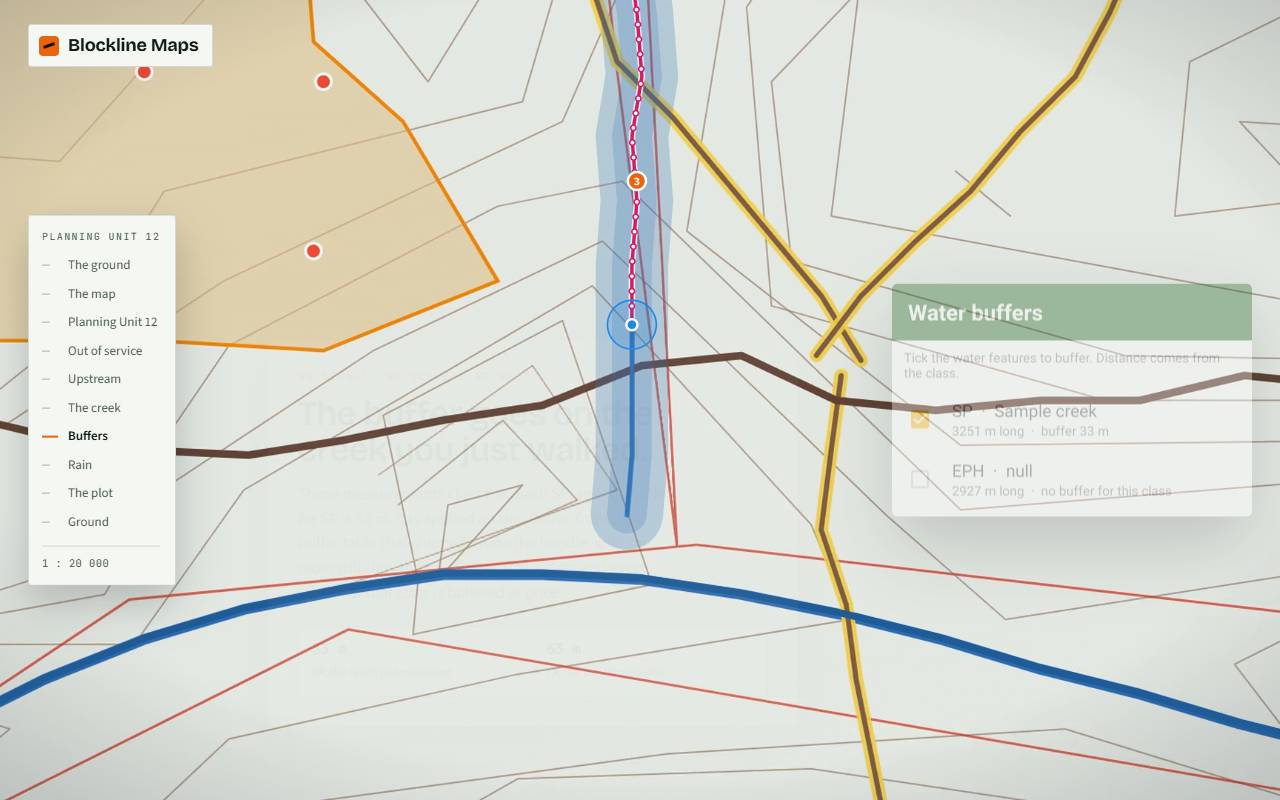
The planning unit, clipped to the quarter and carried onto the block.
- Stream a creek, measure it, buffer it
- Lines and points with a GNSS receiver
- Rain lock, sync back to the office
Tree planting
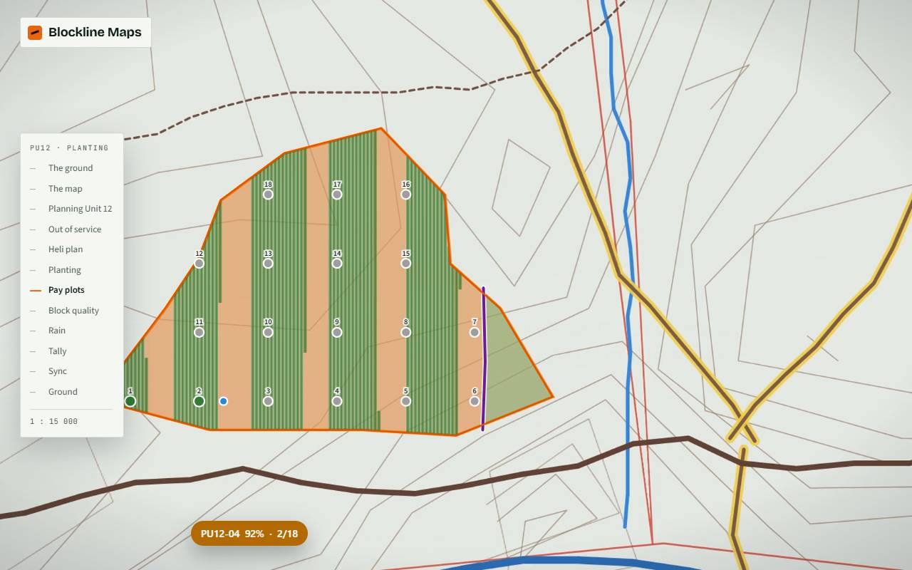
The same map with the planting kit inside.
- Heli plan: caches, deliveries, pick-up
- Pay plots and block quality
- Tally card and trees left per block
Logging
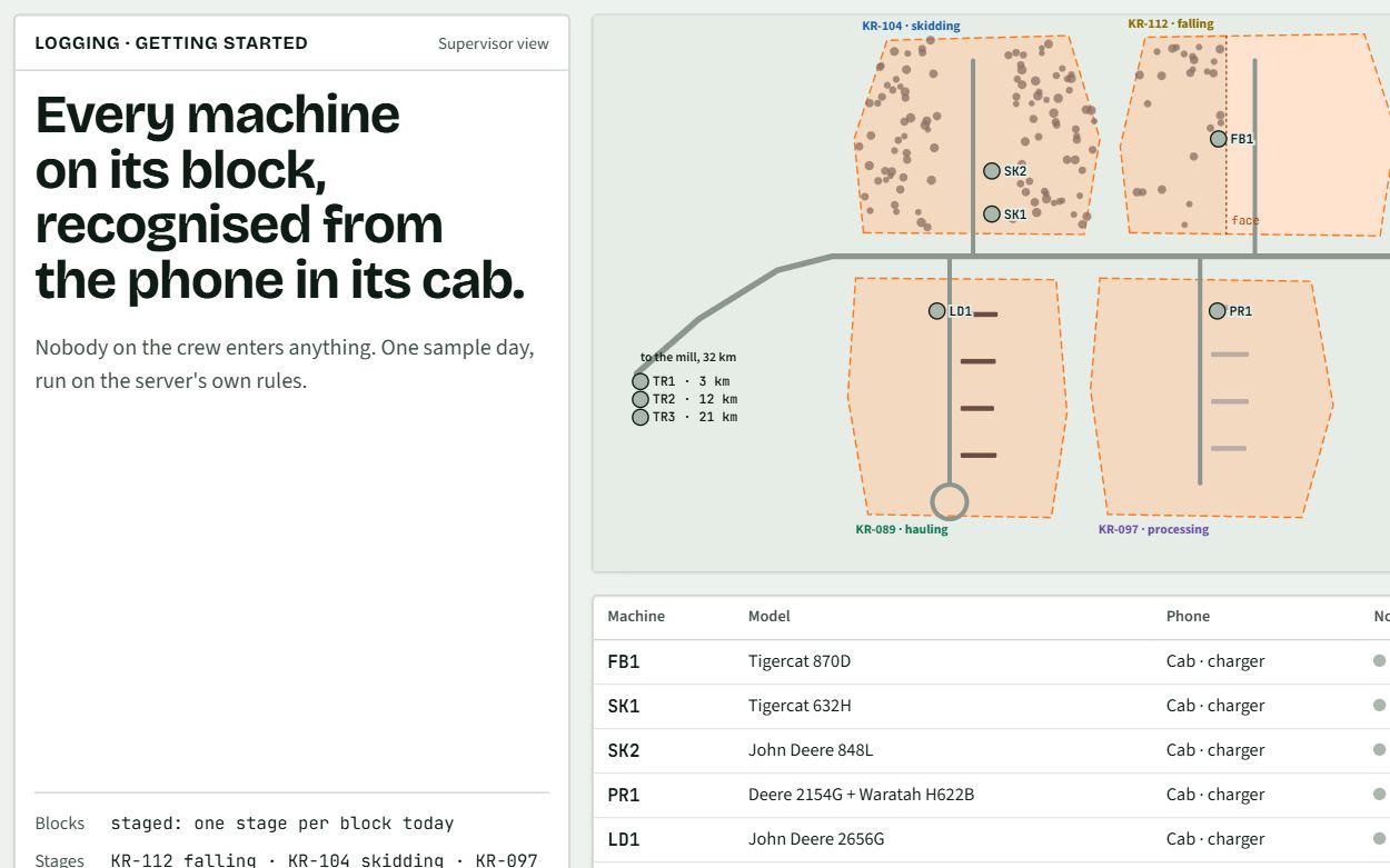
Every machine on its block, recognised from the phone in its cab.
- Production, delays and cycles, no data entry
- Signed load tickets, offline
- Bottlenecks and a block forecast
Made for the field, by people who work in it.
Most field apps are designed in an office and tested on whatever phone was on the desk. Ours are designed around the crew, the block and the data that has to come out of it.
Tested on the gear crews carry
We don't test it on one phone and assume it works everywhere. Every screen is built and tested on rugged Android handhelds and external GNSS receivers, with gloves on, in the rain, with no signal.
QC happens before the crew leaves
Why check the data after the crew has gone home? The form is set up to catch mistakes as they're entered: required fields, valid codes, values outside their range, and points rejected when the GPS isn't accurate enough. The crew fixes it while they're still standing there.
No more compiling months of plot data
The data is digital from the first tally. Nobody keys in a season of plot cards at the end, and none of the transcription errors that come with it make it into the database.
Your data stays in Canada
Data lives on the phone and syncs to your own server. When we host it for you, it's hosted in Canada. It never takes a detour through servers in another country.
No signal, no problem
The map, the forms and the data live on the phone. It syncs at camp or whenever there is signal.
Your data, your geodatabase
Start from the office's own layers. What the crew collects comes back as a dated copy, ready for GIS.
Built in Alberta
Made for the cutblock, not the office. Pilots for the 2027 season are open now.